Nor’easter + King Tides = Major Coastal Flooding in Hampton Roads, VA
- Cheryl Nelson

- Oct 15, 2025
- 3 min read
Last weekend, coastal Virginia was reminded of the power of timing and atmospheric forces.
On Sunday, the ingredients aligned for significant impact: A nor’easter moving up the East Coast combined with autumn king tides to produce major tidal flooding across Hampton Roads, Virginia, during Sunday afternoon’s high tide cycle. The strong winds from the nor'easter pushed extra water from the ocean into the bay, and then into local rivers, creeks and streams.

What Happened in Hampton Roads on Sunday
The combination of strong onshore northeast winds and naturally higher astronomical “king tides” resulted in some of the most significant water levels in years.
In Isle of Wight and Surry counties, flooding reached major tidal levels. The Pagan River gauge near Smithfield peaked at 5.21 feet, the highest reading since the gauge was installed in 2023.
At the Jamestown-Scotland Ferry gauge, water levels hit 5.51 feet, the second-highest in roughly a decade of records.
At Sewell’s Point in Norfolk, the water crested at 6.18 feet, well above average but below the 8.02-foot record set during the 1933 Chesapeake–Potomac hurricane.
Numerous roads were flooded and subsequently closed, and the Jamestown-Scotland Ferry temporarily suspended service due to high water.
Sunday’s flooding was worsened by king tides, which occur several times a year when the sun and moon’s gravitational pull align to produce the highest tides of the year. With a nor’easter’s persistent northeast winds pushing water inland, these tides left little room for the extra surge — a classic setup for coastal flooding in Hampton Roads.
Covering the Flooding on 13NewsNow

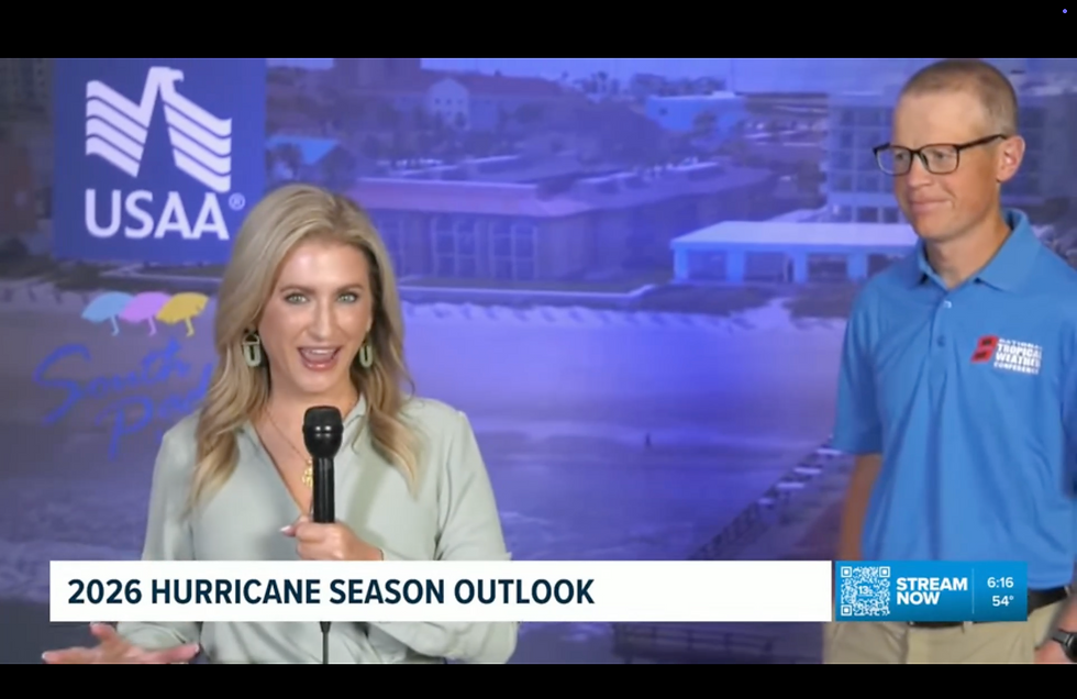
I had the opportunity to join the 13NewsNow team Sunday morning to help keep viewers informed as conditions evolved. Working alongside Meteorologist Taylor Stephenson & Eugene Daniel on-air, along with the rest of the team reminded me just how dedicated local journalists are to keeping our communities safe.
As a freelance broadcast meteorologist, I truly love stepping in during impactful weather events like this one. My mission — whether on camera, in classrooms, or through Prepare with Cher — is to make complex weather information clear, relatable, and actionable.


Safety and Preparedness Tips for Tidal Flooding
Even if you weren’t directly affected by this nor’easter, events like this are reminders to stay prepared for future coastal flooding:
Never drive through flooded roads. Six inches of moving water can stall a car; one foot can float a vehicle and even carry it away if the water is moving fast enough.
Move vehicles to higher ground ahead of forecasted high tides or storms.
Avoid walking through floodwaters, which can hide sharp objects, open drains, chemicals, bacteria and more.
Stay updated with official tide forecasts and local alerts. The 13NewsNow+App and NOAA tide gauges can provide reliable, real-time data.
Have a flood plan — know alternate routes, keep an emergency kit ready, and prepare your home with sandbags or flood barriers if you’re in a vulnerable area.
Looking Ahead

Events like last weekend’s nor’easter highlight why coastal resilience and flood preparedness matter more than ever for the Hampton Roads region. With sea levels slowly rising and king tides occurring predictably, the next event’s impact often depends on how well we prepare.
Weather isn’t unpredictable — it’s powerful, measurable, and, most importantly, something we can prepare for. And that’s what drives my work every day — helping people understand the “why” behind the weather so they can stay safe and ready for whatever nature brings next.
— Cheryl Nelson
Broadcast Meteorologist & Founder, Prepare with Cher, LLC


